GISDay 2023.
|

|


GISDay 2024.
November 20, 2024.
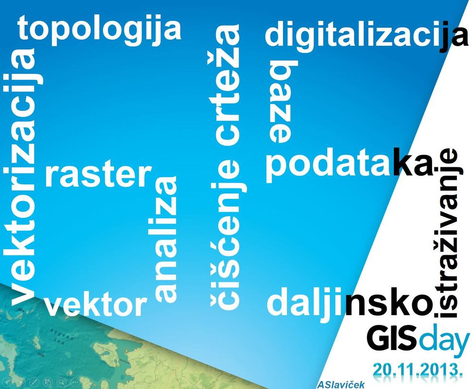
GIS Day
|
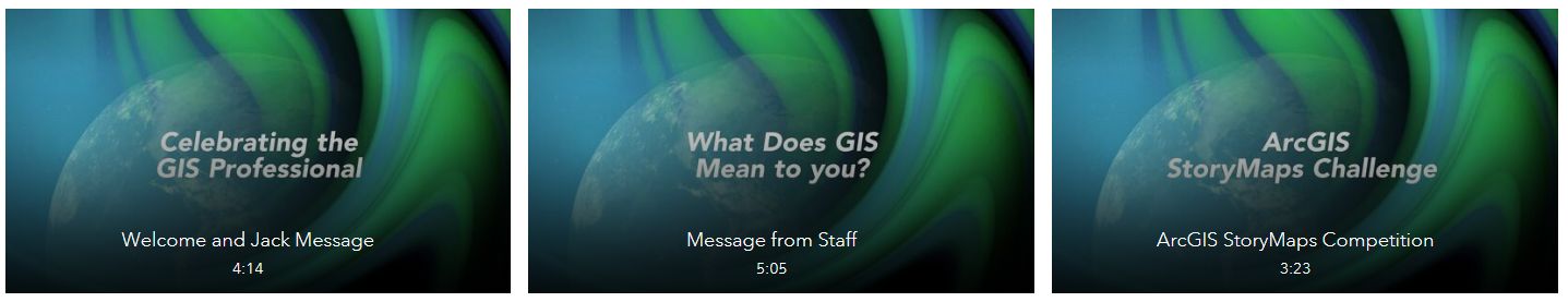
GIS Day is an annual event celebrating the technology of geographic information systems (GIS) that was initiated by spatial analytics world-leader Esri, and which first took place in 1999. Esri president and co-founder Jack Dangermond credits Ralph Nader with being the person who inspired the creation of GIS Day. He considered the event a good initiative for people to learn about geography and the many uses of GIS. He wanted GIS Day to be a grassroots effort and open to everyone to participate. (https://en.wikipedia.org/wiki/GIS_Day)
|

|
|
|
|
|


|

|
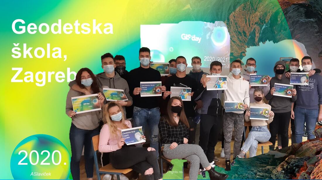
GIS Day 2020.
eBooks
- What Is GIS? [pdf]
Understanding Earth [pdf]
Climate Change Is a Geographic Problem [pdf]
GIS for Renewable Energy [pdf]
GIS in Africa [pdf] - Essays on Geography and GIS [pdf]
Advancing STEM Education with GIS [pdf]
GIS in Education: Across Campuses, Inside Facilities [pdf]
GIS for the Oceans [pdf]
GIS in Polar Regions [pdf] - GIS for Environmental Management [pdf]
The New Geographers [pdf]
GeoLearning [pdf]
Crossing Borders [pdf]
Higher Education [pdf]
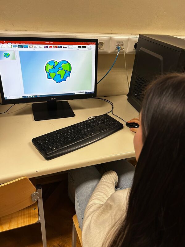
Prezentacije učenika

|

|

|

|